|
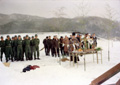
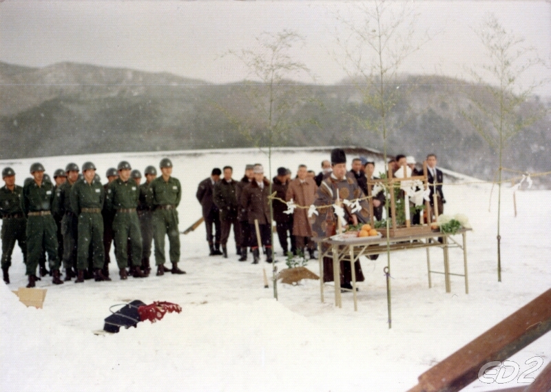
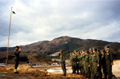
村民グラウンド起工式
800x569/337KB
|
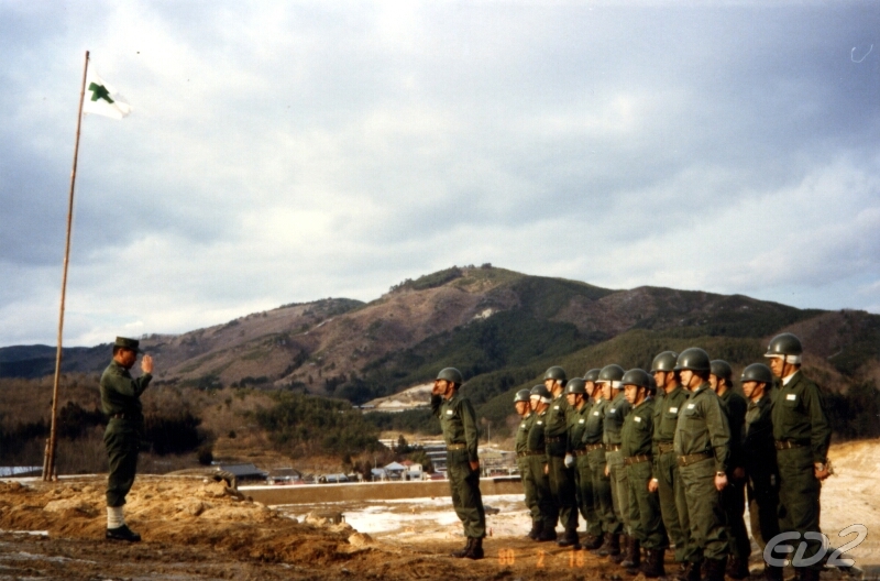
村民グラウンド起工式
800x528/303KB
|
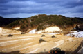
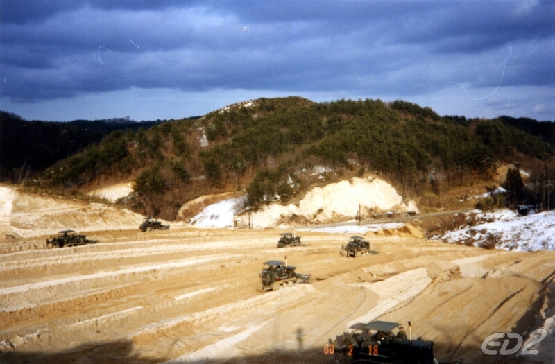
村民グラウンド整備工事
800x525/332KB
|
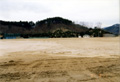
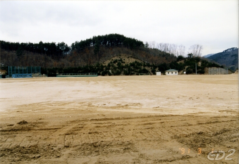
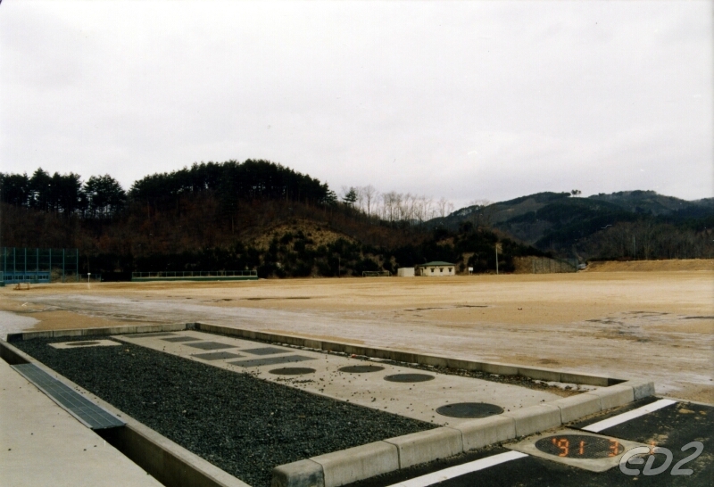
村民グラウンド
800x549/331KB
|

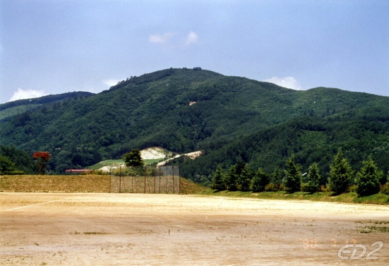
村民グラウンドから臨む太平山
800x548/356KB
|
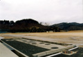
村民グラウンド
800x546/302KB
|
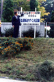
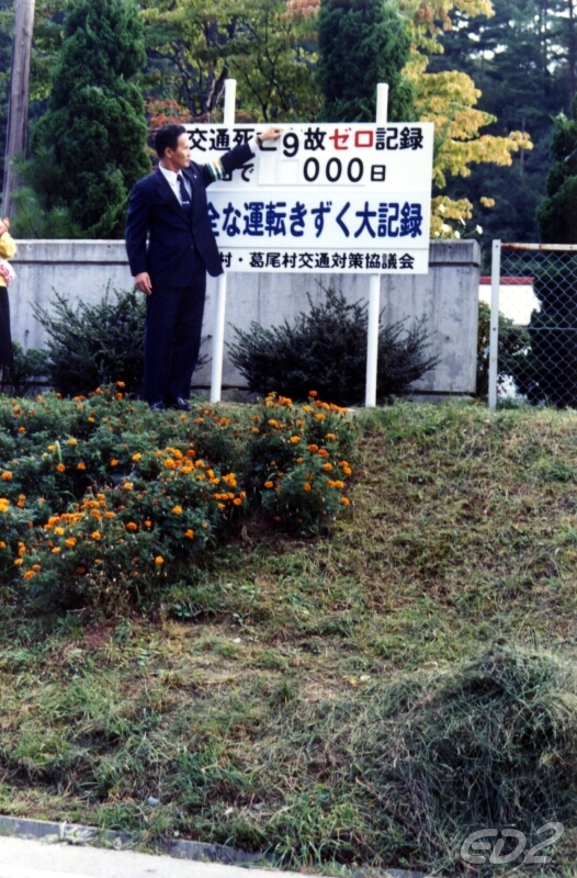
交通死亡事故ゼロ9000日達成
526x800/438KB
|
|
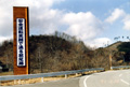
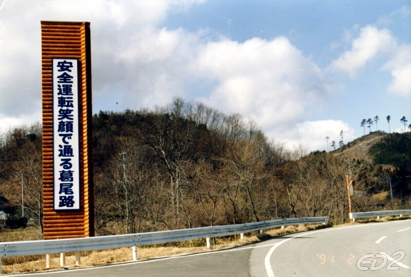
交通安全広告塔
800x541/367KB
|
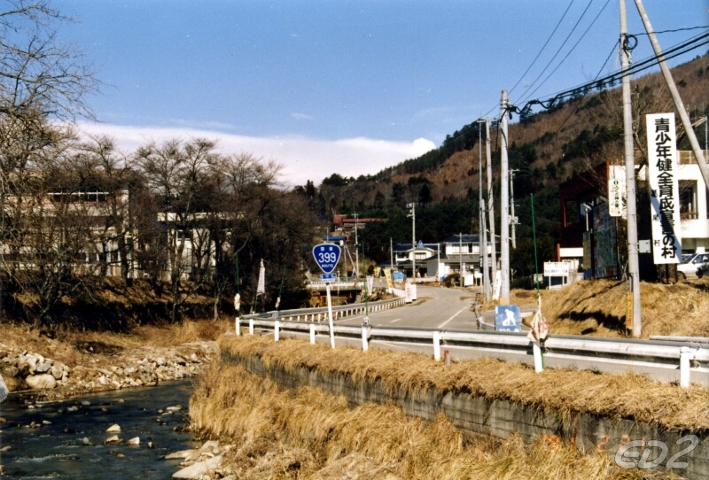
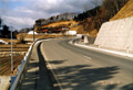
国道399号(菅ノ又地区)
800x544/335KB
|

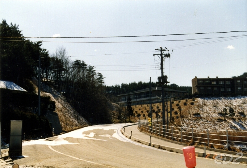
国道399号(落合地区)
800x542/423KB
|

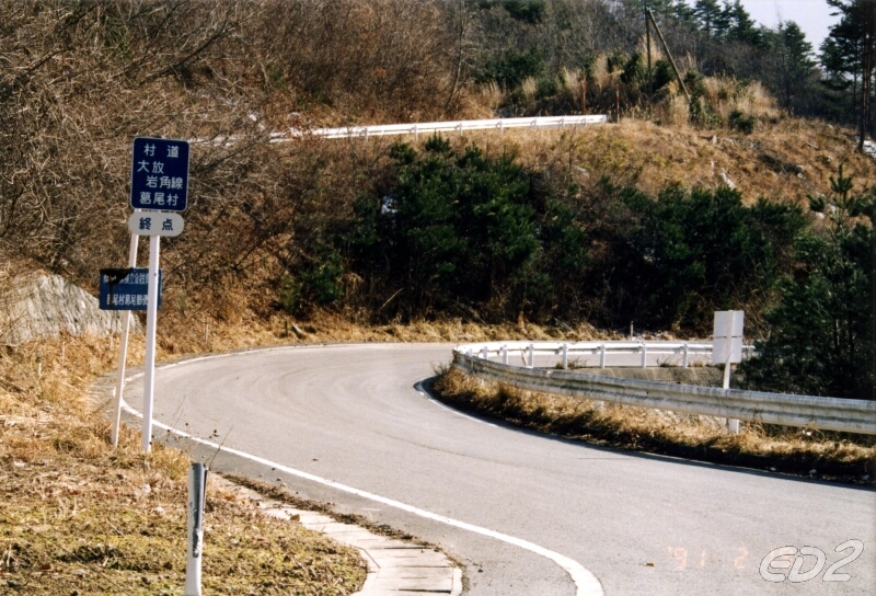
村道 大放・岩角線
800x544/442KB
|
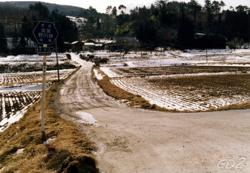
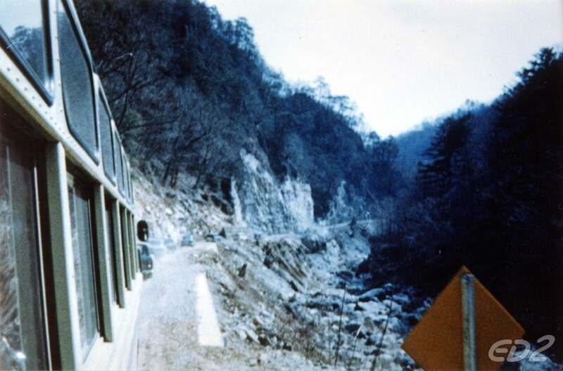
県道 常葉・野川線(改良前)
800x554/439KB
|
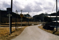
県道50号線(野川地区)
800x546/377KB
|

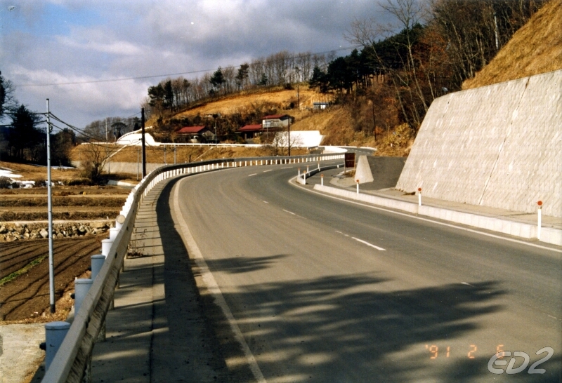
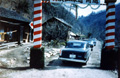
県道 落合・浪江線(夏湯地区)
800x540/318KB
|
|
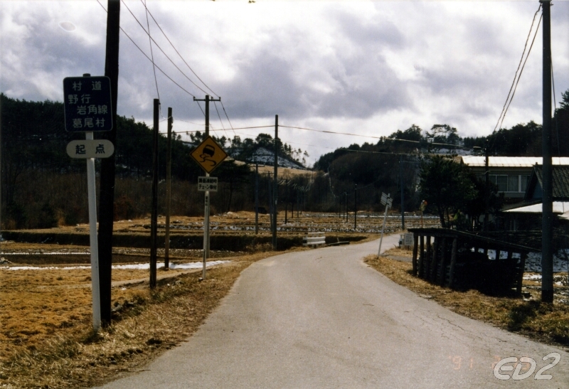
県道 野行・岩角線(野行地区)
800x547/345KB
|

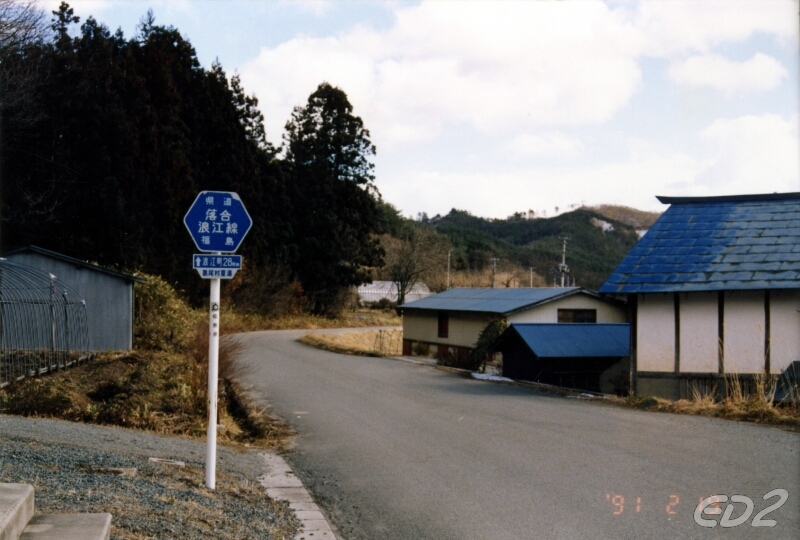
県道 落合・浪江線(大放地区)
800x547/460KB
|
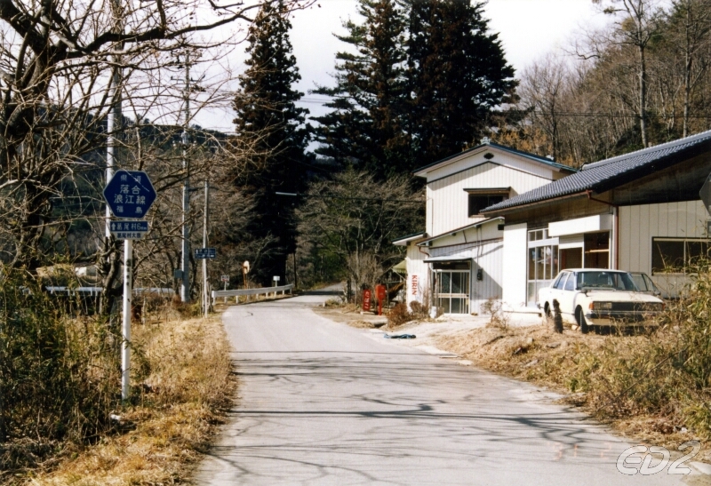
県道 落合・浪江線(大放地区)
800x528/329KB
|
浪江林道開通
800x519/369KB
|
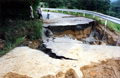
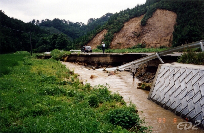
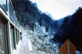
平成元年8月6日台風による被害
800x516/400KB
|
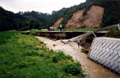
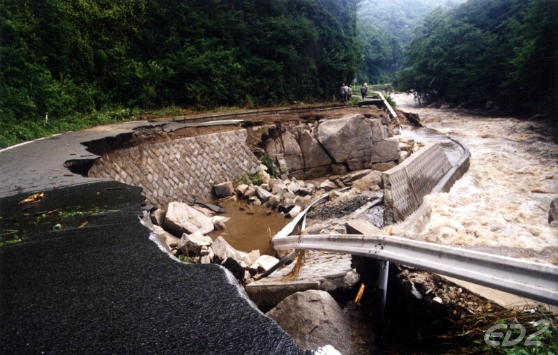
平成元年8月7日台風による被害
800x522/380KB
|
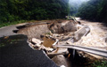
平成元年8月8日台風による被害
800x509/384KB
|